Having completed the first stage of our Wales Coastal Path walk, Alec and I had to decide what to do for the next few weeks. We calculated that it would be possible to do The Gower legs using public transport from Cardiff as day trips, but were persuaded that a more realistic option would be a local stay for three nights, and four days walking – this would also be good preparation for the Pembrokeshire and mid and North Wales stages, as well as Alec’s proposed attempt at the Offa’s Dyke long-distance walk. But not just now …
So this is what we came up with. The Capital Walk is a walk around the boundaries of Cardiff – a collection of Cardiff Ramblers walks connected together to make a semi-circular walk of c.38 miles. How many legs/stages we do it in rather depends on our respective fitness. Currently Alec is suffering issues with his foot; whilst my ankle is much better at the moment. Such is life! This walk allows multiple bailing-out places so is well suited to our respective difficulties.
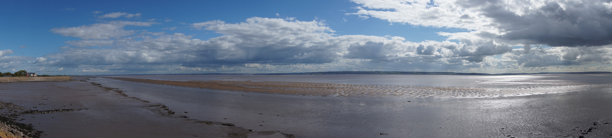
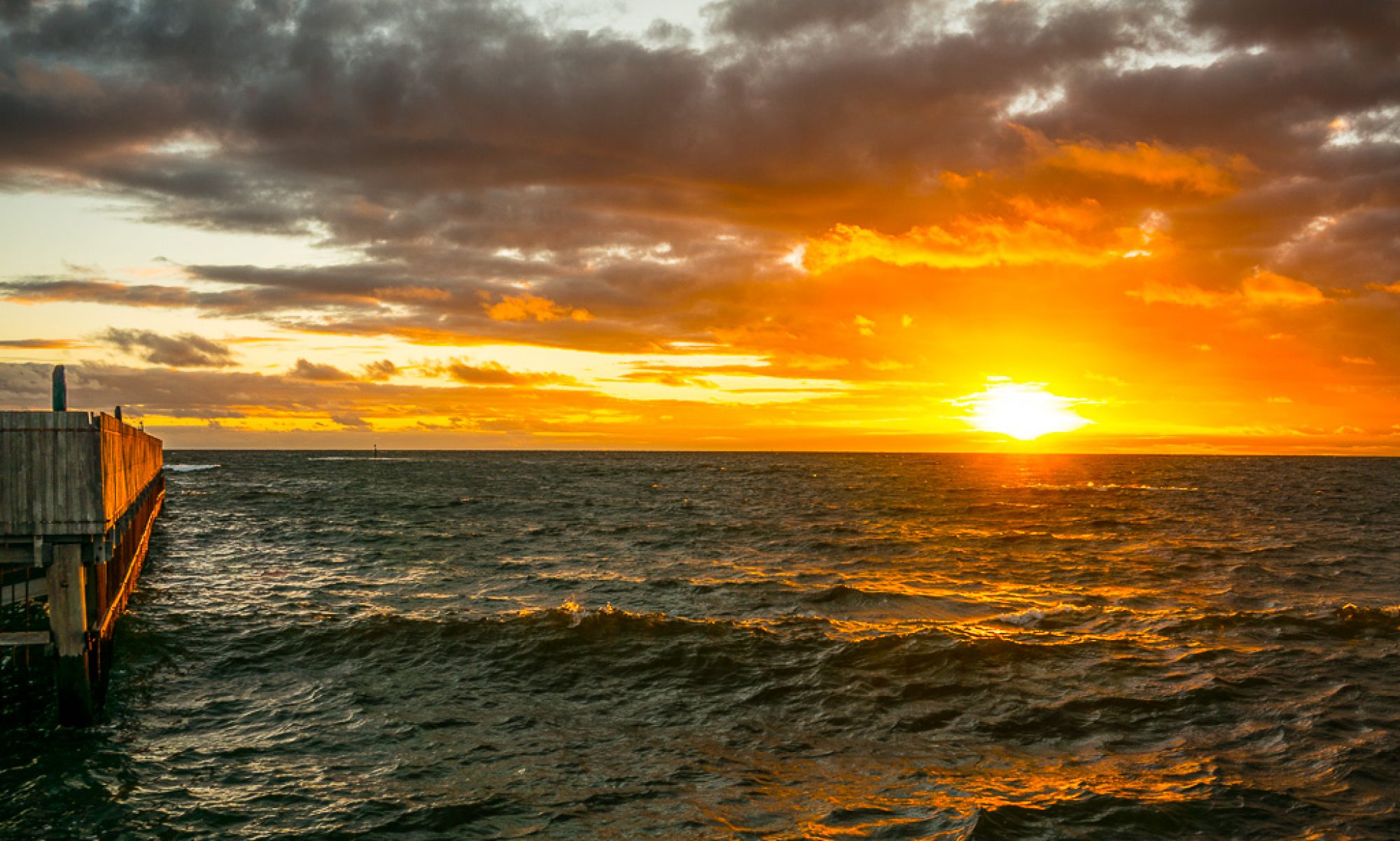
So after meeting-up at the Central Bus Station it was the 08:59 Bus 94 that took us through Penarth and Cosmeston to drop us at Swanbridge X-roads. A short walk down to the coast saw us arrive at high tide – I’d never seen the causeway completely covered, and of course it was a very high tide indeed.
.jpg")
Turning our back on the Captains Wife (we’d had unfortunate memories of stopping there before on our WCP walk, we headed off for St Mary’s Well Bay and Cosmeston Park.
.jpg")
The weather was to stay fine throughout the walk and we quickly walked past the Medieval Village, the Lakes and on to the long track that leads up to Old Cogan Hall Farm. It was then a short walk through Murch to get to Dinas Powys where we headed for Mill Lane and the track past the castle and Woodland Trust plantation which took us to a newly harvested field of maize (surprising how many cobs are missed by the equipment) and on towards Michaelstone-le-Pit.
.jpg")
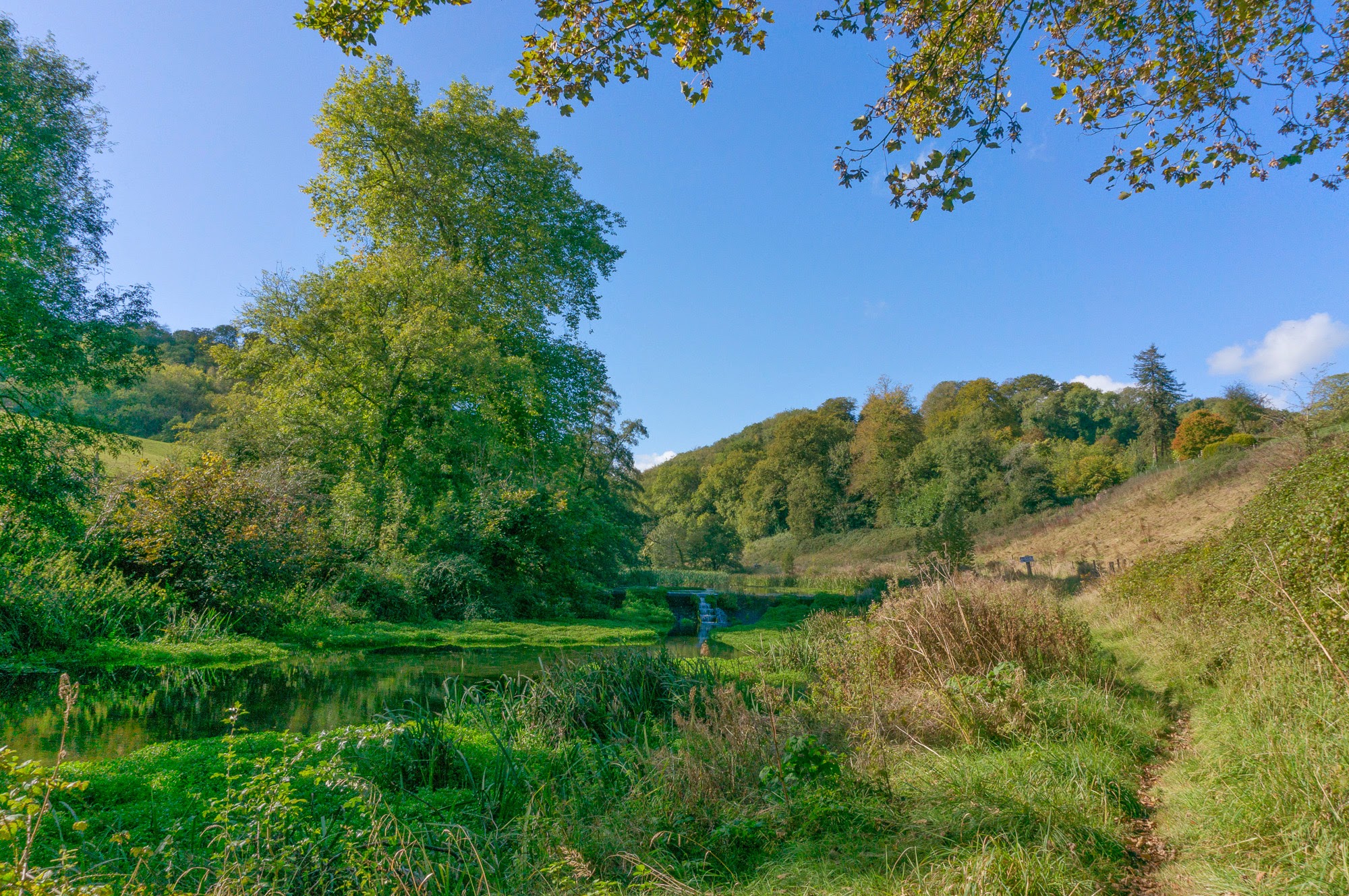
We now walked up past the fish ponds which are locally known as the Salmon Leaps and into the woods which climbed slowly towards Wrinstone Farm.
.jpg") It was during this stretch that Alec’s foot (and ankle) was beginning to seriously trouble him, and all thoughts of trying to get to St Fagans, or further, were put on hold. The target destination was Wenvoe, the distance walked – about 8 miles.
It was during this stretch that Alec’s foot (and ankle) was beginning to seriously trouble him, and all thoughts of trying to get to St Fagans, or further, were put on hold. The target destination was Wenvoe, the distance walked – about 8 miles.
.jpg") This we achieved and so we sat down in the Wenvoe Arms for a few beers to recover and while the time away – after all we didn’t need to be back for a little while :-). A very happy and pleasant afternoon was had putting the world to rights and chatting with the new landlord who’d only taken up the tenancy at the beginning of the week. It would be interesting to go back in 6 months and see what changes might have happened. There’s a very regular bus service back to Cardiff from Wenvoe, so we didn’t have long to wait for a bus home.
This we achieved and so we sat down in the Wenvoe Arms for a few beers to recover and while the time away – after all we didn’t need to be back for a little while :-). A very happy and pleasant afternoon was had putting the world to rights and chatting with the new landlord who’d only taken up the tenancy at the beginning of the week. It would be interesting to go back in 6 months and see what changes might have happened. There’s a very regular bus service back to Cardiff from Wenvoe, so we didn’t have long to wait for a bus home.
So on to next week and again a short walk from Wenvoe heading towards Llanilltern and the A4119 I suspect will be our destination, possibly Pentyrch – we’ll see. It would be nice to think we could get up and over The Garth and get to the Gwaelod, but I suspect that’s not on.
The Google Map of the walk is shown below – just use the sliders to navigate and zoom in on parts of the walk.